WeTraceUniversal converts complex traffic movement into clean, decision-ready intelligence — counts, classifications, and rapid reporting built for consultants, planners, and public authorities.
We leverage structured data extraction, automated classification frameworks, and multi-layer quality validation to deliver scalable, high-accuracy traffic intelligence — tailored for consultants, urban planners, and public authorities.
We combine structured classification, multi-modal counting, and QA validation layers to ensure precise outputs aligned with your project objectives — every time.
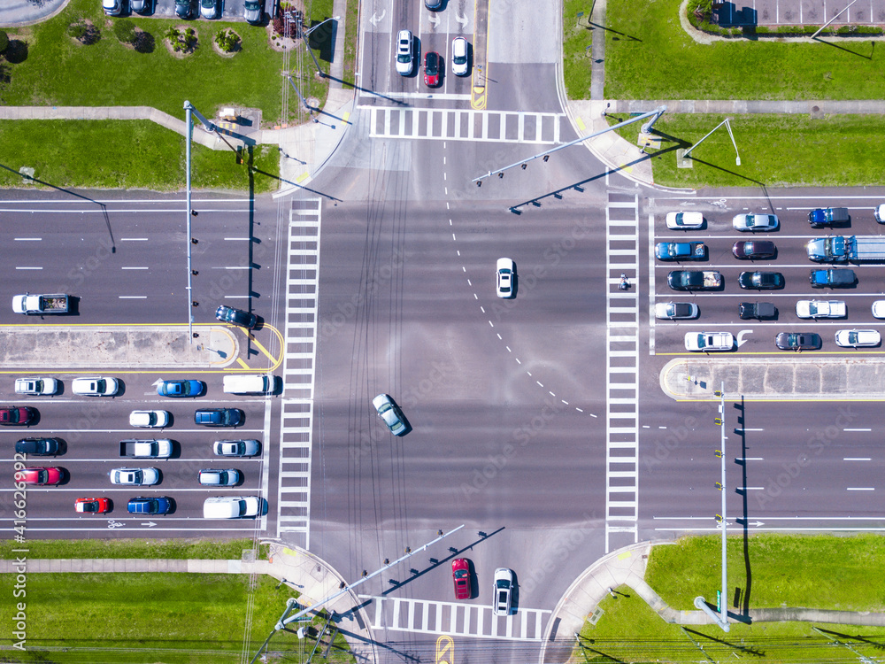
Aerial View
Video Survey
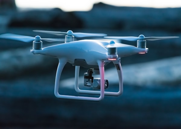
Drone Survey
Modular survey packages for consultants, authorities, and infrastructure teams — tailored to your junctions, corridors, and timelines.
01
Approach-by-approach turning movement volumes with peak hour and time-sliced analysis for signal optimisation and capacity assessment.
Signal Optimisation
02
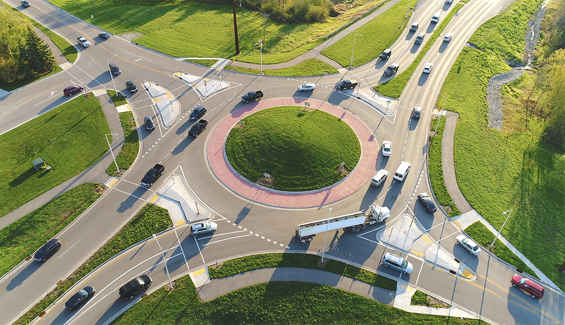
Detailed entry, circulation, and exit flow analysis for intersections, roundabouts, and complex junction nodes.
Junction Study
03
Directional traffic volume counts across corridors to support planning, modelling, and signal timing optimisation.
Corridor AnalysisMaximum, average, and 95th percentile queue length measurements with peak build-up and dissipation pattern analysis.
Congestion StudyOn-street and off-street occupancy, turnover rates, and duration of stay analysis aligned with defined study boundaries.
Parking Analytics
06
Multi-modal pedestrian and bicycle volume counts with directional distribution and peak period analysis.
Active Travel
07
Identification and tagging of prohibited turns, wrong-way movements, signal violations, and compliance patterns.
Compliance AuditHigh-resolution aerial traffic data capture for complex sites — enabling wide coverage, traceability, and movement validation.
Aerial IntelligenceCorridor-level journey time, average speed, and delay analysis — identifying bottlenecks and informing signal coordination and route planning.
Journey Analysis


A streamlined workflow that keeps your data consistent, auditable, and ready for decision-making at every step.
Site-ready plans for camera and drone placement with capture windows aligned to study objectives and peak periods.
High-throughput review with AI-assisted tagging and systematic quality checkpoints across every survey hour.
Vehicle classes, movement directions, and time intervals structured to precisely match your reporting format.
Clear outputs: spreadsheets, visual summaries, charts, and methodology notes — ready for immediate client approval.
We built WeTraceUniversal for professionals who can't afford errors — transport consultants, city planners, and infrastructure authorities who need data they can trust on day one.
Start a ProjectStandard survey results in 48 hours. Priority delivery available for urgent project deadlines.
Fast TrackTriple-layer QA review ensures every count, class, and movement is verified before delivery.
QA CertifiedComplex sites, wide corridors, and rural intersections covered with high-res aerial capture.
Aerial SurveysAll outputs formatted to plug directly into your planning models and approval documentation.
Report ReadyWhether it's a single junction or a city-wide corridor study, our team is ready to scope, plan, and deliver — fast.